Wed Apr 1, 2026 | Updated 03:53 PM IST HZ Awards 2026
Are you tired of walking up to strangers to ask about a location? Then, you’ve landed at the right place!
In this digital age, you can subscribe to many web-based services that provide detailed information about geographical regions and sites across the globe, and Google Maps is one of them. You might have seen the Google Maps App on your smartphone, remember? So, put that application to use, and end all your address searching woes.
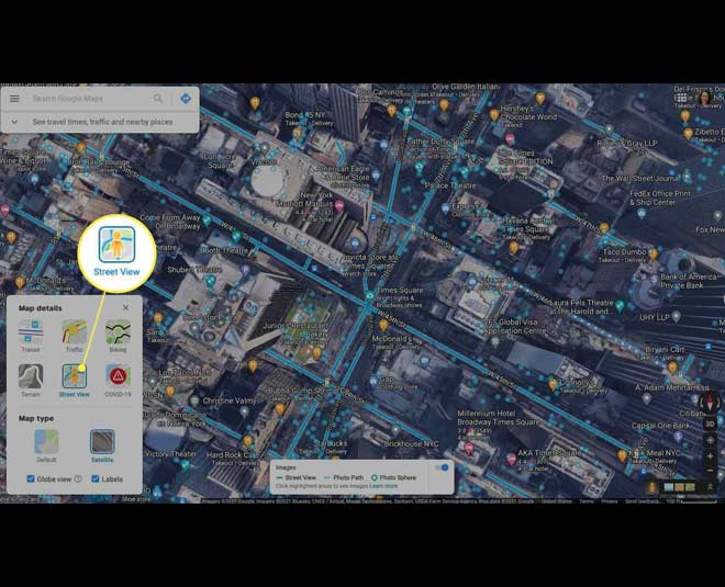
Image Courtesy: Lifewire
Google Maps is one of the most widely used applications nowadays. Why? It is an incredibly versatile tool that is quick and easy to handle.
From measuring the distance between any two addresses to providing directions to the drivers, walkers, and users of public transportation, it does it all!
The Google Maps application offers various services and some of them are as follows:
Don't miss:Must Have Mobile Apps To Make Your Travel Smoother
Google Maps have made our lives much easier and now it’s very difficult to imagine a life without them. The App was first released for Android devices in the year 2008, the smartphone version of the application was soon made available for other mobile platforms, such as BlackBerry and Palm. Further, Apple's mapping app was also powered by Google Maps data.
But do you know how to use the App for reaching another location? No? Then, follow this step-by-step process:
Step 1: Before opening the Google Maps application, you must turn on the GPS and let the app access your current location and audio speakers. If you don’t do this earlier, you will be prompted to perform this step once you open the app.
Step 2: Now, open the Google Maps app. The default map mode will show street names overlaid on a map drawing. You can also switch to a satellite or terrain map by just tapping the two overlapping diamonds near the top-right corner of your screen, then click Satellite or Terrain.
Step 3: Find the blue dot on the map. It actually represents your current location. And the blue cone around the dot shows which direction you are facing. So, it will become easier for you to track your location, in case you are moving.
Step 4: Then, search for a place or tap it on the map. Tapping on a certain location will drop a pin and once you lift your finger, you will see a red pushpin. You can also read the panel with information about your location.
Step 5: Next, tap directions in the bottom right of your screen. You can even add multiple destinations.
Step 6: If you want to add a destination, then you would have to go to the top right corner of your screen and click more followed by clicking ‘Add a stop’.

Image Courtesy: cnn.com
Step 7: Next, choose your preferred travel mode from - Driving, Public Transport (Transit), Walking, Ride (Cab) Services, or Cycling.
Step 8: Once you choose the mode, the map will show you the best location guide following which you can reach in lesser time or encounter lesser traffic in your path.
Step 9: However, there are many other routes available, which will be shown in gray on the map. You can choose those too. For following another route, just click on the grayline.
Step 10: When you are beginning your journey, start the navigating by tapping ‘Start’. You can even access the voice directions in the app. So, whenever you start the navigation if you are driving or even walking, you can hear the voice directions making the app more convenient.
Step 11: Also, to stop or cancel the navigation, go to the bottom left of your screen and tap Close.
Don't miss:5 Simple Steps For Staying Safe Online

Image Courtesy: Business Insider
Not only on your smartphone, but you can also use Google Maps to search from your laptop or desktop. Here's a guide to get you started using Google Maps on your computer:
Step 1: Just like your smartphone, first enable the location services for the website to function.
Step 2: On your computer, go to https://maps.google.com in your web browser. You can use any web browser, such as Safari, Chrome, or Edge for this purpose.
Step 3: Type an address or name of a place on the bar present above or you can right-click the blue location dot on the map to expand the context menu.
Step 4: After typing the address, press Enter or click Search.
Step 5: You will get the search results as red mini-pins or red dots, where mini-pins show the top results. Many other features are similar to your smartphone.
Have you tried Google Maps, yet? Do share your thoughts with us on our Facebook page. For more such stories, stay tuned to HerZindagi!
Also watch this video
Herzindagi video
Our aim is to provide accurate, safe and expert verified information through our articles and social media handles. The remedies, advice and tips mentioned here are for general information only. Please consult your expert before trying any kind of health, beauty, life hacks or astrology related tips. For any feedback or complaint, contact us at [email protected].